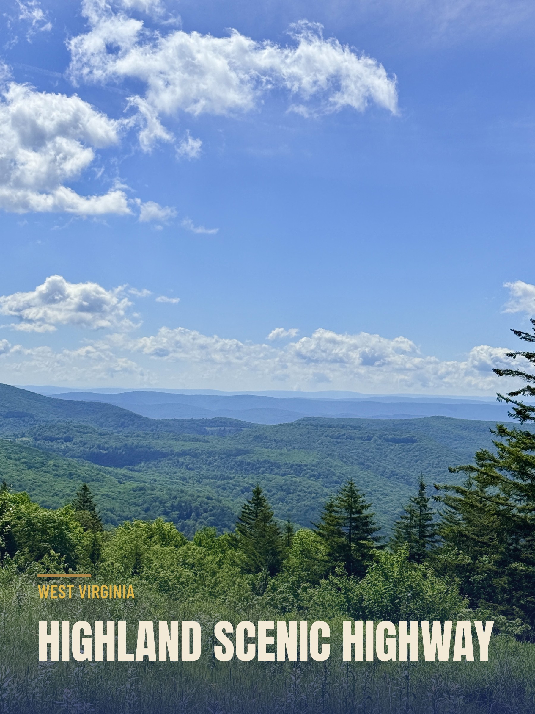
About an hour north of our home base in Lewisburg sits one

of the prettiest drives in West Virginia, the Highland Scenic Highway through the Monongahela National Forest. We had read about it for weeks, so we finally pointed the truck that direction and went to see what all the fuss was about.
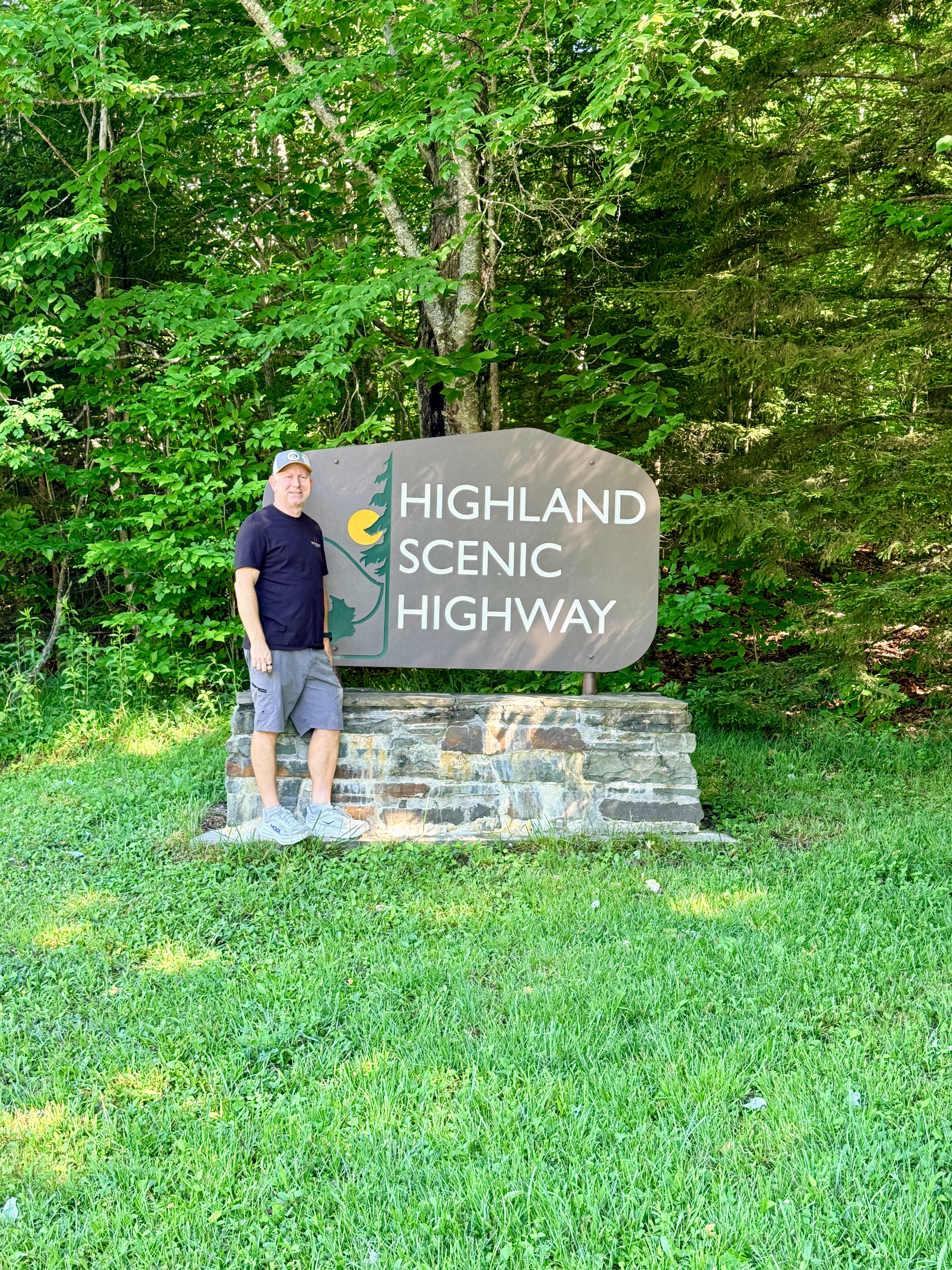
We started in the middle (whoops)
From my research, it sounded like we needed to head to the Cranberry Mountain Nature Center and start there. So that is exactly what we did. The thing I didn’t know is that the Nature Center sits closer to the middle of the byway, not the beginning.
The Cranberry Glades Overlook Trail

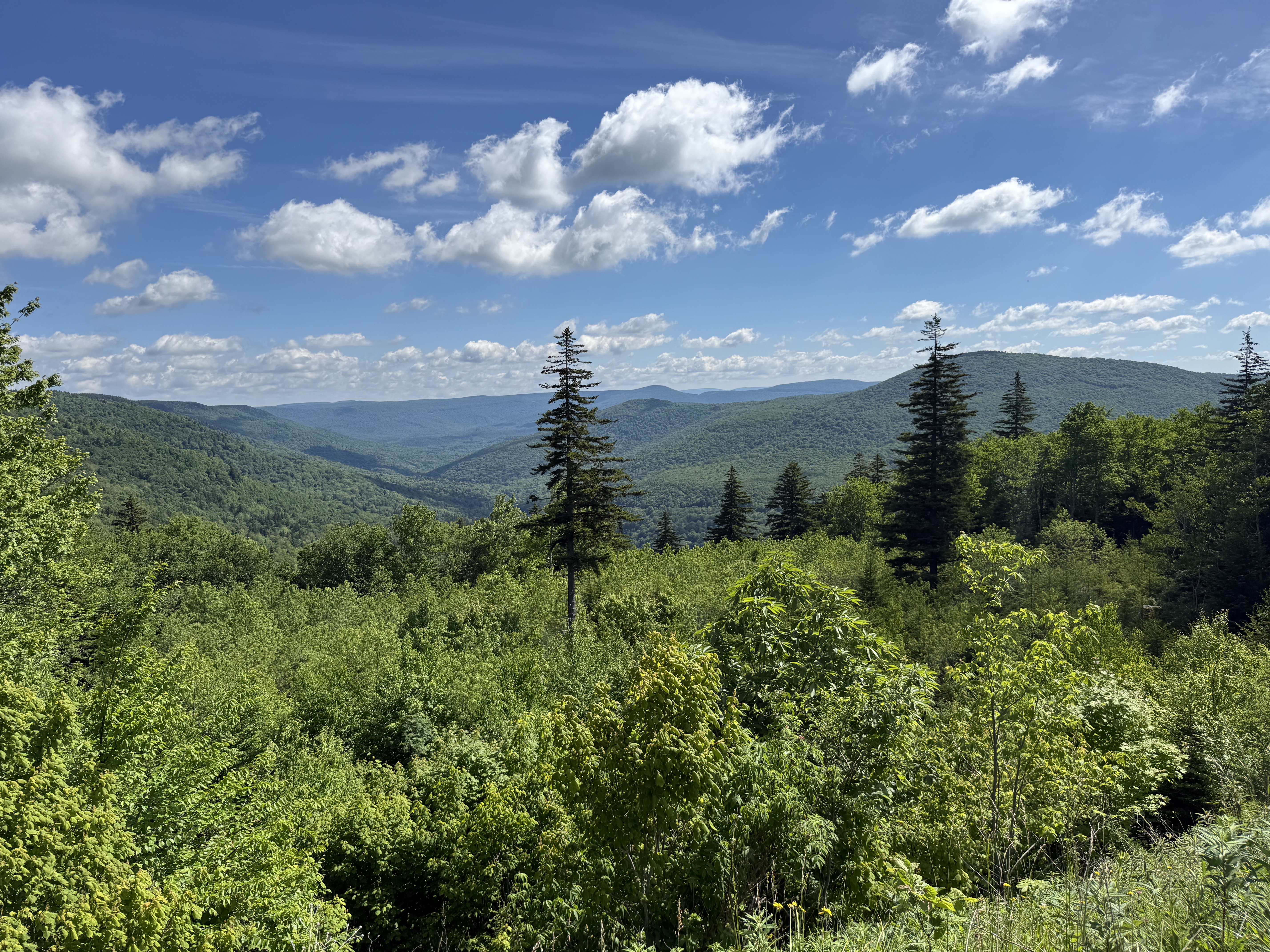
We wanted to stretch our legs, so we did a short trail out to the Cranberry Glades overlook. It runs about a quarter mile each way, so a half mile round trip. The trail itself was not bad, but it is one of those where long pants would have been smart. Weeds brushed against our legs the entire way out and back.
The overlook at the end was a nice view of the glades. Here is the thing though: it was not any better than the views you can get from the overlooks you simply drive up to. So if you are itching to put boots on the ground out here, I would point you toward a different trail. There are a lot of overlooks with much better views that you can drive your vehicle up to.
Turns out we only did half
We kept stopping at overlooks, soaking in the views, and before long the road just ended. We figured we were done.
Except something felt off. We had only covered about half the distance the byway was supposed to be. We pulled into a little turnout, looked at the map on the display board at the entrance on that end, and the truth came out. The Nature Center really was near the midpoint, and the waterfalls and the lake were at the complete opposite end from where we had just been.
So back we went via a different route and did the other half.
Summit Lake and the quieter half

This time, when we reached the Nature Center, instead of turning right we went straight, heading toward Richwood. The falls were not far from there, but we kept driving out to Summit Lake first to take a look. Summit Lake turned out to be worth the short detour. It is a quiet 43-acre lake sitting better than 3,000 feet up, ringed by wooded shores that run right down to the water, with a boat launch and a fishing pier and not much noise beyond the breeze. It was built back in the 1950s as a reservoir for Richwood, but it has long since settled into looking like it has always belonged out here. We did not have poles along, but there we a good number of people fishing around the lake.
The second half of the drive is not as scenic as the ridgeline section. It trades the high open overlooks for lowland forest, so the payoff here is the waterfalls, not the views from the road.
The Falls of Hills Creek, and the stairs from you-know-where

My poor research struck again. I had it in my head that the Falls trail was around two and a half miles round trip. The sign at the trailhead said three quarters of a mile each way. I figured that distance had to be to the upper falls.
We reached the upper falls in about three tenths of a mile. I was not impressed. They are not very tall, and from the viewing platform you are basically standing right above them, so you never get a good angle to see their true beauty. This first stretch is paved, so it is the natural turnaround point, and that is where Donna and Juneaux called it and headed back to the truck.
From there the trail goes down. And down. And down. Lots of stairs. Every flight I descended, I cursed myself a little, because I knew every single step was one I would have to climb back up.
Then the middle falls came into view, and they were amazing. A 45-foot curtain of water dropping over the ledge, and a much better look than the upper falls gave us. This one fans out wide as it comes down, spilling and breaking over moss-

covered sandstone boulders instead of dropping in a single clean sheet, and it lands in a green, ferny basin walled in by rhododendron and big hardwoods. After the bad angle up top, finally having room to stand back and take the whole thing in made the climb down feel worth it.
I almost turned back at the middle falls. I figured the next one could not possibly top it, and my legs were already filing the burn from the stairs. But I kept going. More flights, more stairs.
The payoff was huge. The lower falls are spectacular, a full 63-foot drop, and it turns out they are the second-tallest waterfall in the entire state. Worth every miserable step.
Then, of course, I had to climb back out. It got a little hot and sweaty on the way up, but I made it back to the top with no real trouble. The whole hike ran about an hour, and that included plenty of photo stops along the way. The paved upper section gives way to a mix of gravel and boardwalk as you descend, so wear something with grip.
If I had to do it all over again
I would run the day in this order:
First, drive straight to the waterfalls and do that hike before anything else. Mornings are cooler, and you will thank yourself on the climb back up all those stairs.
Second, if you want to see Summit Lake, swing out there while you are already on that end.
Third, come back up the road, make a left, and save the ridgeline overlooks for later in the day. Assuming you have chosen a sunny day, the low level clouds and fog will have burned off by then, and those long-range views will be at their clearest.
All in all, it was a great day of great scenery. The Highland Scenic Highway earned its name, stairs and all.